Best Parks in Minneapolis Locals Recommend
From the Chain of Lakes to a waterfall inside the city limits, a working local's tour of the parks that make Minneapolis argue, credibly, that it has the best public green space in the country.
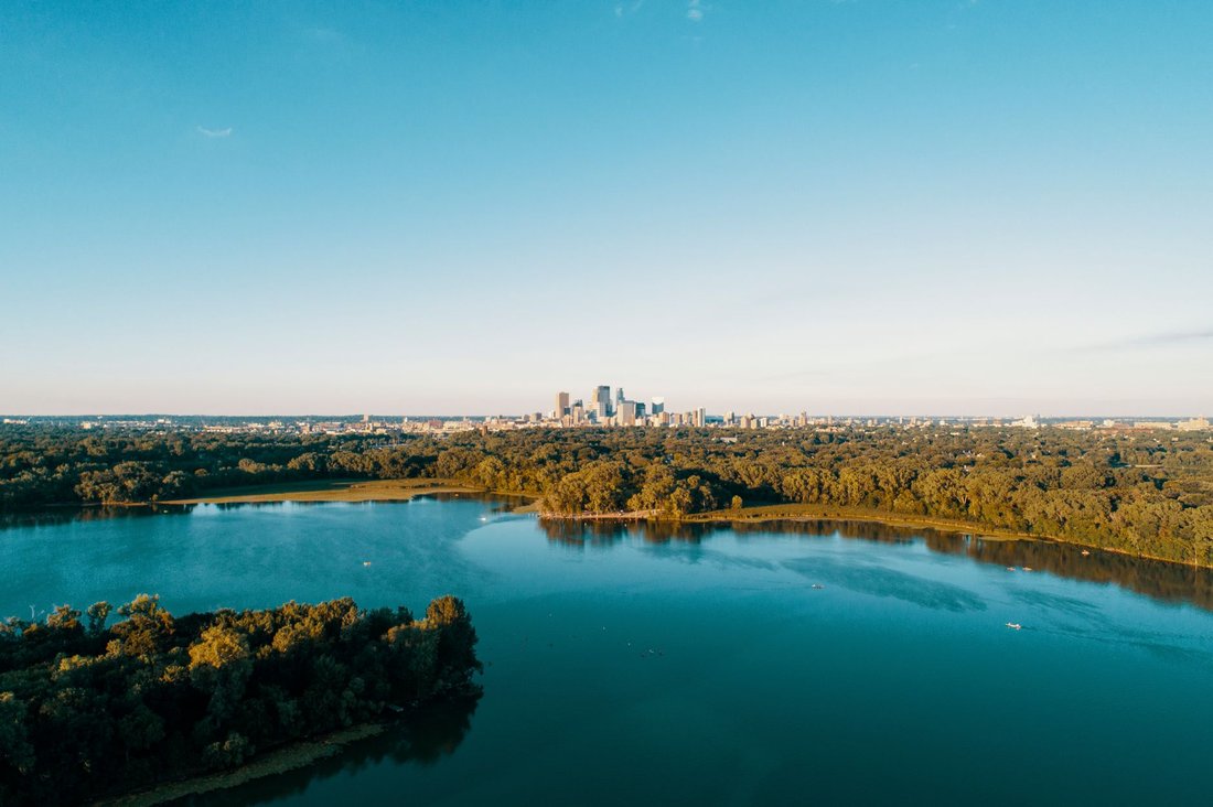
Just after six on a June morning, the surface of Bde Maka Ska is glass, broken only by the wake of a single scull gliding past the 32nd Street public swimming beach. A great blue heron works the shallows near the pergola. Someone is already running the 3.1-mile path around the lake, headphones in, breath faintly visible even though it's summer, because the air off the water still carries a chill this early. This is the unglamorous truth about the best parks in Minneapolis: the good ones reward showing up before the rest of the city wakes up. They also reward the person who comes back in October for the maples along the Chain of Lakes, and again in a snow-quiet February for the ski tracks at Theodore Wirth. Minneapolis residents will tell you, without much modesty, that this is the best public park system in the country, and after walking, biking, and paddling through most of it, it's hard to argue.
What makes the claim credible isn't one showpiece park. It's the density and range: glacial lakes ringed by public paths within a mile of downtown, a genuine waterfall inside the city limits, an old milling district turned into riverfront green space, and neighborhood parks that still function as the actual social center of the neighborhoods around them. Credit for the framework traces back to the park board founded in the 1880s and to landscape architect Horace Cleveland, who argued early that a growing industrial city should set aside its lakes and riverbanks before developers got to them first. That decision, made when Minneapolis was still a milling boomtown, is a large part of why a resident today can walk or bike from a downtown office to a public beach without crossing more than a handful of streets. Below is a working tour, organized the way a local would actually move through it.
The Best Parks in Minneapolis Start at the Chain of Lakes
The Chain of Lakes is the spine of the park system, a string of connected lakes on the city's south and southwest side linked by paths, canoe channels, and the Midtown Greenway. Locals default to it for a run, a swim, a picnic, or just a lap before dinner, and each lake has its own personality. A paddler can put a canoe in on one lake and, using the connecting channels under the parkway bridges, work through most of the chain in a single afternoon without ever touching a car.
Lake of the Isles
Lake of the Isles is the quiet, residential one, ringed by some of the grandest homes in Minneapolis, many of them a century or more old, and by a walking and biking path that loops the water beneath a canopy of mature trees. There's no beach here and no bandshell; the appeal is the architecture-and-water combination and the small islands that give the lake its name. Canoers paddle the channel connecting it to Bde Maka Ska, and in winter, when ice conditions allow, a stretch of the lake gets cleared for pickup hockey and skating, a tradition Minneapolis families have kept up for generations. The Kenwood neighborhood that surrounds the western shore is one of the more expensive addresses in the state, but the lake itself, like every lake in this system, belongs to everyone equally.
Bde Maka Ska
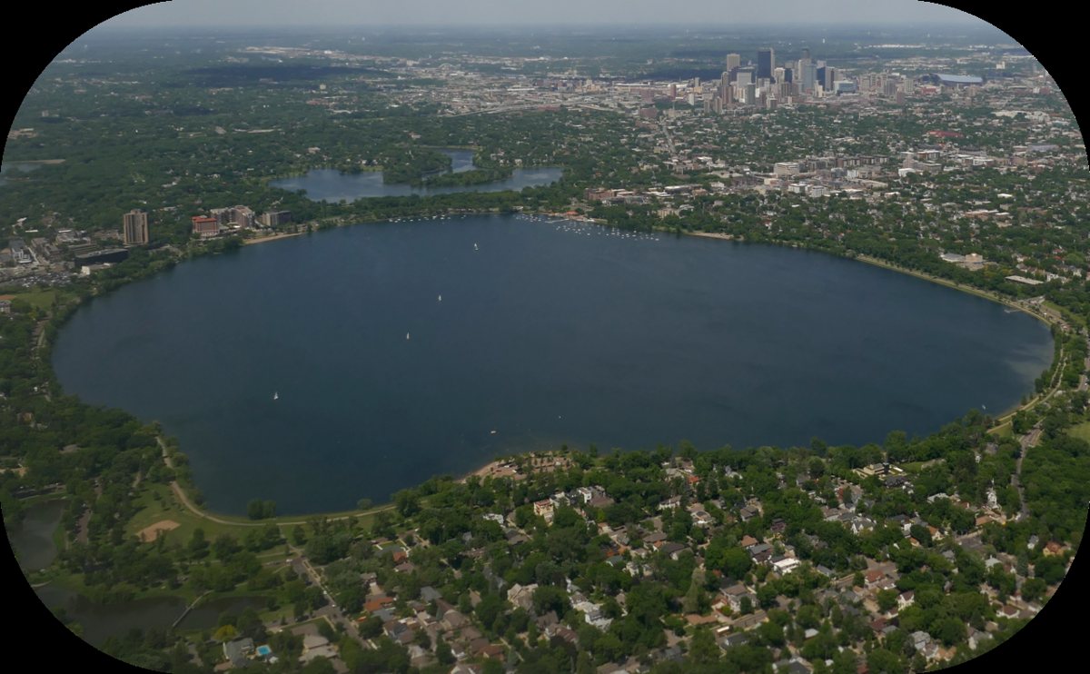
Bde Maka Ska, restored to its Dakota name in recent years after decades as Lake Calhoun, is the biggest and busiest of the chain, with a full-service beach, sailboat rentals, a rowing club, and a paved path that draws runners, cyclists, and rollerbladers in numbers that can feel more like a parade than a jog on a warm Saturday. The bars and patios near the Bde Maka Ska Pavilion turn the whole scene into a genuine evening destination, not just a daytime workout loop. It connects directly to Lake Harriet by trail, so plenty of visitors treat the two as a single long walk. The renaming fight over its name was genuinely contentious at the time, working through the county board and then the courts, but the Dakota name has settled into everyday use fast enough that most newer residents never knew it any other way.

Lake Harriet
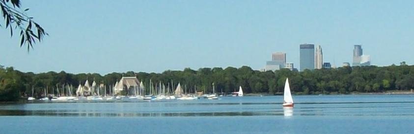
Lake Harriet is the one with the bandshell, a wood-and-copper structure at the north end of the lake that hosts free summer concerts and anchors an evening scene of blankets, walk-up ice cream, and kids chasing each other around the plaza. A small excursion streetcar, run by volunteers, still rattles along a short stretch of track between Lake Harriet and Lake of the Isles, an old-fashioned touch Minneapolis has managed to keep operating. The lake has a designated swimming beach, an off-leash dog area sits nearby, and the surrounding Lyndale Park grounds turn the whole area into an afternoon rather than a quick stop. A fishing pier and a bird sanctuary sit on the lake's quieter west side, a short walk from the bandshell crowds but a completely different mood, favored by anglers and by anyone who wants the lake without the concert.

Lyndale Park Rose Garden
Set against Lake Harriet's east side, the Lyndale Park Rose Garden and the adjoining Peace Garden and perennial trial beds are the kind of formal, old-growth garden most cities lost decades ago. It's one of the oldest public rose gardens in the country, laid out in geometric beds around a central fountain, and it blooms hardest in midsummer when the roses hit peak color with the lake as backdrop. Gardeners and photographers treat it as a working studio; everyone else treats it as a five-minute detour that turns into forty.
The Mississippi Riverfront: Falls, Mills, and Bluffs
Minneapolis grew up around Saint Anthony Falls, the only true waterfall on the entire Mississippi River, and the riverfront parks trace that industrial and geological history for several highly walkable miles.
Minnehaha Regional Park and Minnehaha Falls
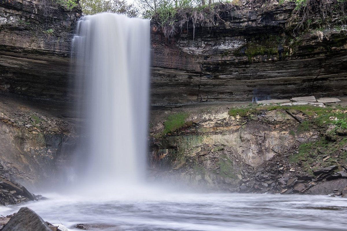
Minnehaha Falls drops roughly fifty feet into a limestone gorge inside Minnehaha Regional Park, and it remains the single most photographed spot in the city for good reason: a genuine waterfall, framed by a stone footbridge and a statue of Hiawatha and Minnehaha, sitting a short walk from a picnic pavilion, a dining establishment, and a paved creek trail that runs all the way to the Mississippi. Henry Wadsworth Longfellow's poem gave the falls their fame before most Minnesotans had ever seen them in person, and the park still draws a cross-section of the entire metro on any warm weekend, from wedding parties to tourists working through a checklist. The creek trail below the falls is one of the best short walks in the city, cool and shaded even in August, and it eventually opens onto the Mississippi River gorge, where the paved path continues for miles in either direction. The park also holds a replica of Longfellow's Massachusetts home, a small nod to the poem that put this waterfall on the map long before most of the people who visit it had ever set foot in Minnesota.

Mill Ruins Park
Mill Ruins Park sits at the base of Saint Anthony Falls on the west bank, where the exposed limestone foundations of the old flour mills are left standing in the open, explained with signage rather than hidden behind fences. It's an unusual, effective kind of park: half archaeological site, half riverside promenade, connecting the Stone Arch Bridge to the Mill City Museum and the rest of the downtown riverfront path. Walk it at dusk when the ruins are lit and the falls are running loud, and the industrial history of Minneapolis stops being an abstraction. A small viewing platform lets visitors get close to the working hydroelectric station that still draws power from the falls, a reminder that this stretch of river never fully retired from the job that built the city.
Father Hennepin Bluff Park
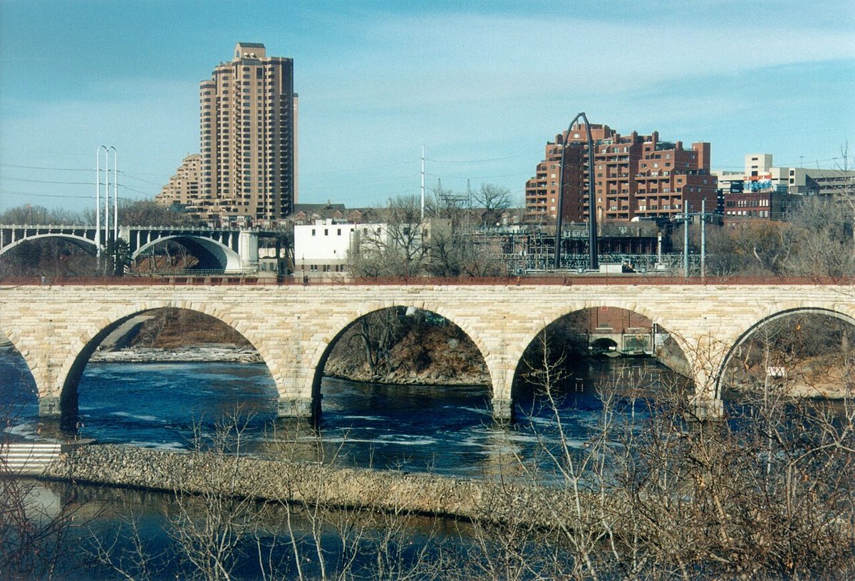
On the east bank near Nicollet Island, Father Hennepin Bluff Park gives up the best unobstructed view of the Stone Arch Bridge and Saint Anthony Falls, especially from the small overlook near the old lock wall. It's a smaller, quieter park than its neighbors, more likely to have a couple reading on a bench than a crowd, and it works as the calm counterpoint to the busier Boom Island a few minutes' walk north. The bridge itself, a nineteenth-century railroad crossing now reserved for pedestrians and cyclists, is arguably the best single vantage point in the city for looking at Minneapolis rather than standing inside it. Nicollet Island itself, just across the old lock, mixes restored nineteenth-century houses with a public pavilion, giving the whole area a residential, almost small-town feel that sits strangely and pleasantly close to downtown's office towers.

Boom Island Park
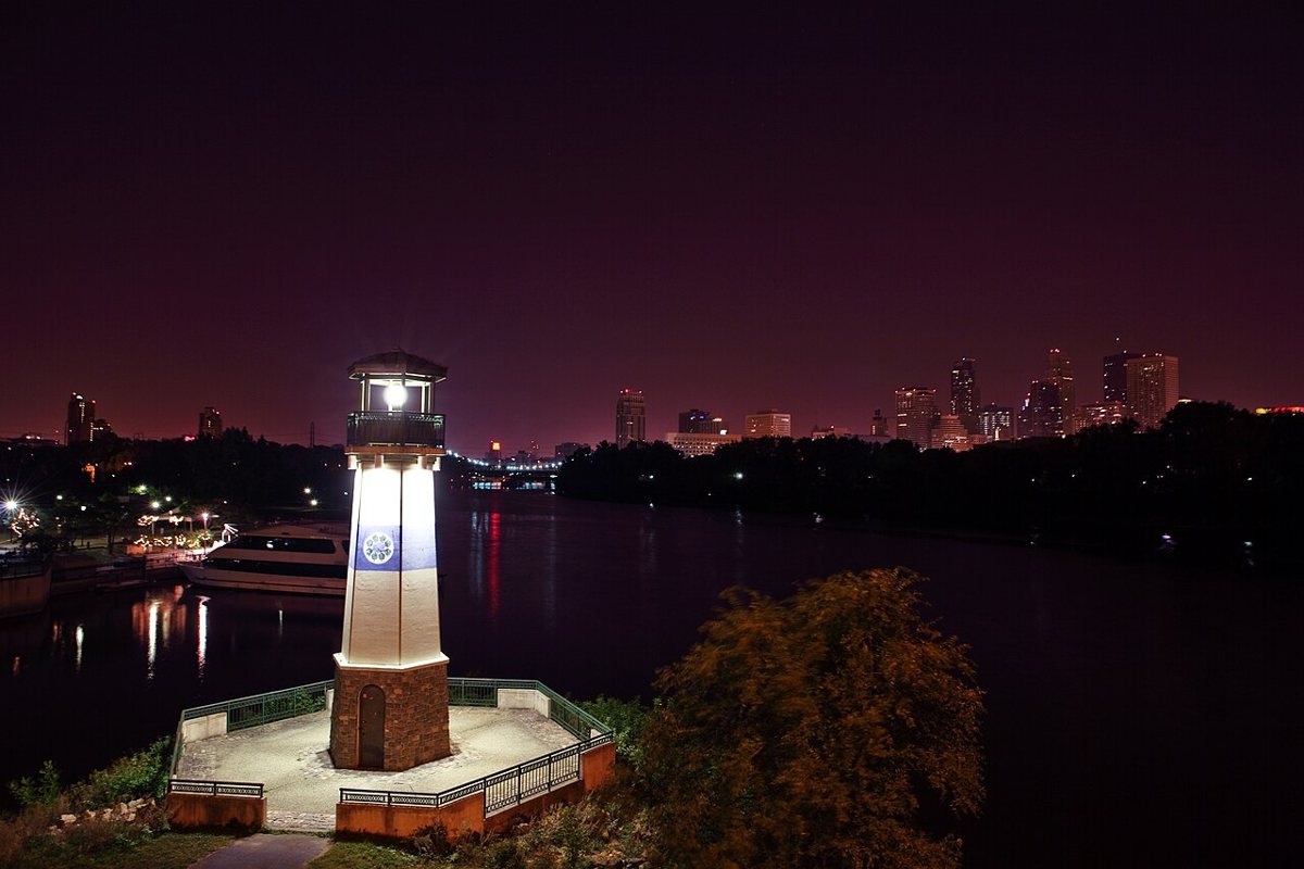
Boom Island Park, connected to Nicollet Island by a pedestrian swing bridge, has open lawns, a small lighthouse-style structure, and river access that make it a favorite for kite flying, informal soccer, and watching barges and the occasional excursion boat pass under the rail bridges. It's also one of the better launch points for renting a kayak or canoe and getting onto the Mississippi itself, a different experience from watching it from a path. The park's northern edge feels less manicured than downtown's riverfront, closer to a working river than a postcard of one, and that's part of its appeal. On summer evenings the lawns fill with grilling families and softball leagues, and the view across the water toward the old grain elevators on the far bank is a rare reminder that this is still a river city with a working waterfront, not just a scenic one.

Downtown's Green Anchors
Downtown Minneapolis isn't wall-to-wall concrete, and the two parks that prove it sit within walking distance of the theater district and the skyway system.
Gold Medal Park
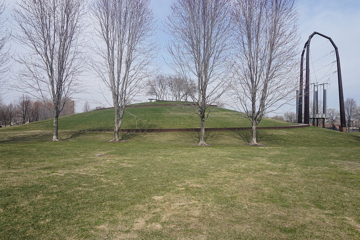
Gold Medal Park is a compact, sculpted green space next to the Guthrie Theater, built on the site of the old Gold Medal Flour mill complex and named for it. A grassy spiral mound climbs to a small overlook with a clear view of the Mississippi, the Stone Arch Bridge, and the Guthrie's cantilevered walkway, and the park hosts free outdoor programming through the warmer months. It's a lunch-break park more than a destination park, but a well-designed one, the kind of small urban space that makes a downtown feel livable instead of just functional. Its position between the Guthrie and the Mill City Museum makes it a natural pause point on a longer riverfront walk, somewhere to sit on the grass rather than another set of stairs to climb.

Loring Park
Loring Park anchors the edge of downtown nearest the Walker Art Center and the Minneapolis Sculpture Garden, with a small lake, a fountain, and mature tree cover that make it feel older and less manicured than the newer downtown parks. The Loring Greenway, a landscaped pedestrian corridor, links the park directly to Nicollet Mall, so a walk that starts among sculpture and ends at a downtown restaurant patio barely feels like it left green space at all. Loring has also long served as a staging ground for the city's Pride festivities and other civic gatherings, giving it a community role that goes beyond its size. The Berger Fountain at the park's south end, a ring of water jets kids treat as an unofficial splash pad on hot days, is a small detail that says a lot about how Minneapolis actually uses its downtown green space rather than just admiring it.
Theodore Wirth Regional Park: Room to Roam
Theodore Wirth Regional Park is the outlier on this list, big enough that most first-time visitors underestimate it. It's the largest regional park within Minneapolis, spilling into neighboring Golden Valley, with a golf course, a beach on Wirth Lake, miles of singletrack and paved trail, a chalet used for cross-country skiing, and the Eloise Butler Wildflower Garden and Bird Sanctuary, the oldest public wildflower garden in the country, tucked inside its own fenced grounds. The Quaking Bog, a floating peat bog crossed by a boardwalk, is the kind of genuinely strange natural feature most cities don't have within their borders, let alone inside a public park. Wirth is where Minneapolis goes to feel like it has real woods, not just landscaped green space, and it anchors the city's mountain biking and Nordic skiing communities. The park is named for the park board's longtime superintendent, who spent decades shaping the broader system, and it remains the closest thing Minneapolis has to a true wilderness escape without leaving the city limits.


Neighborhood Parks with Their Own Personality
Beyond the lakes and the riverfront, Minneapolis's neighborhood parks do double duty as community infrastructure, and several of them carry real cultural weight.
Powderhorn Park
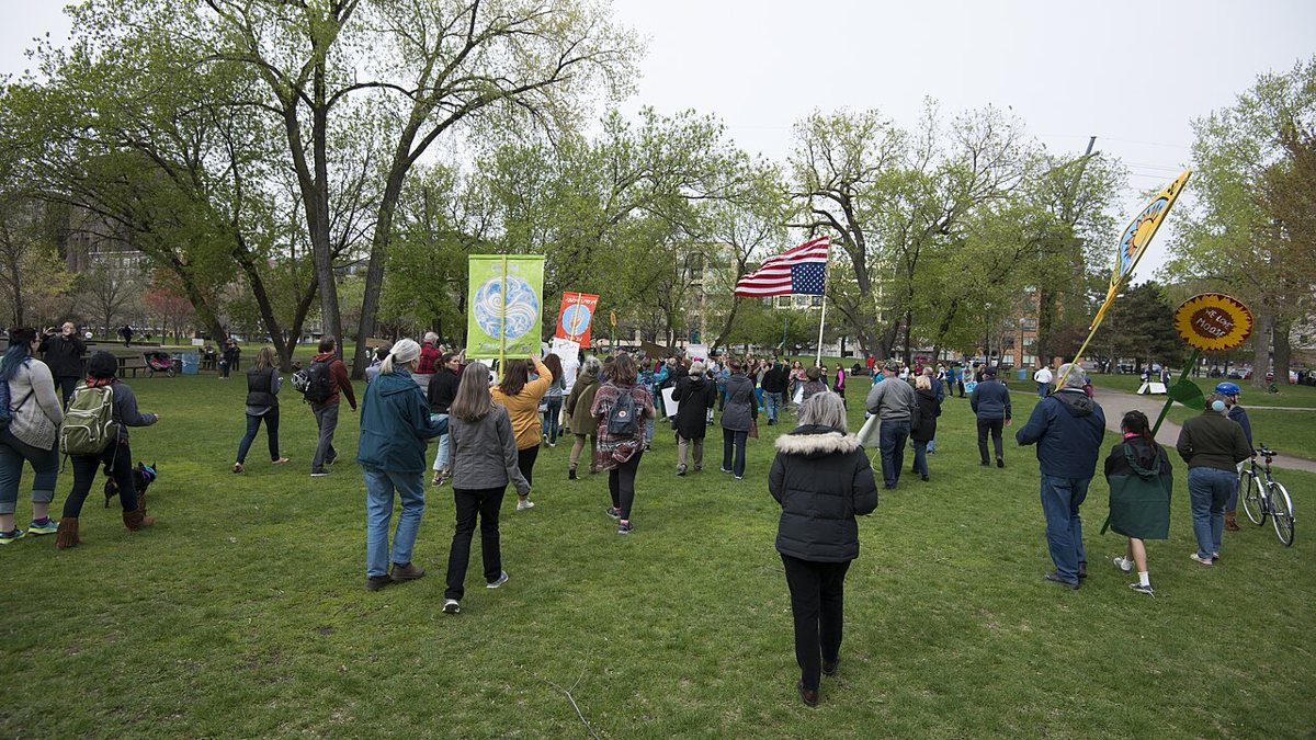
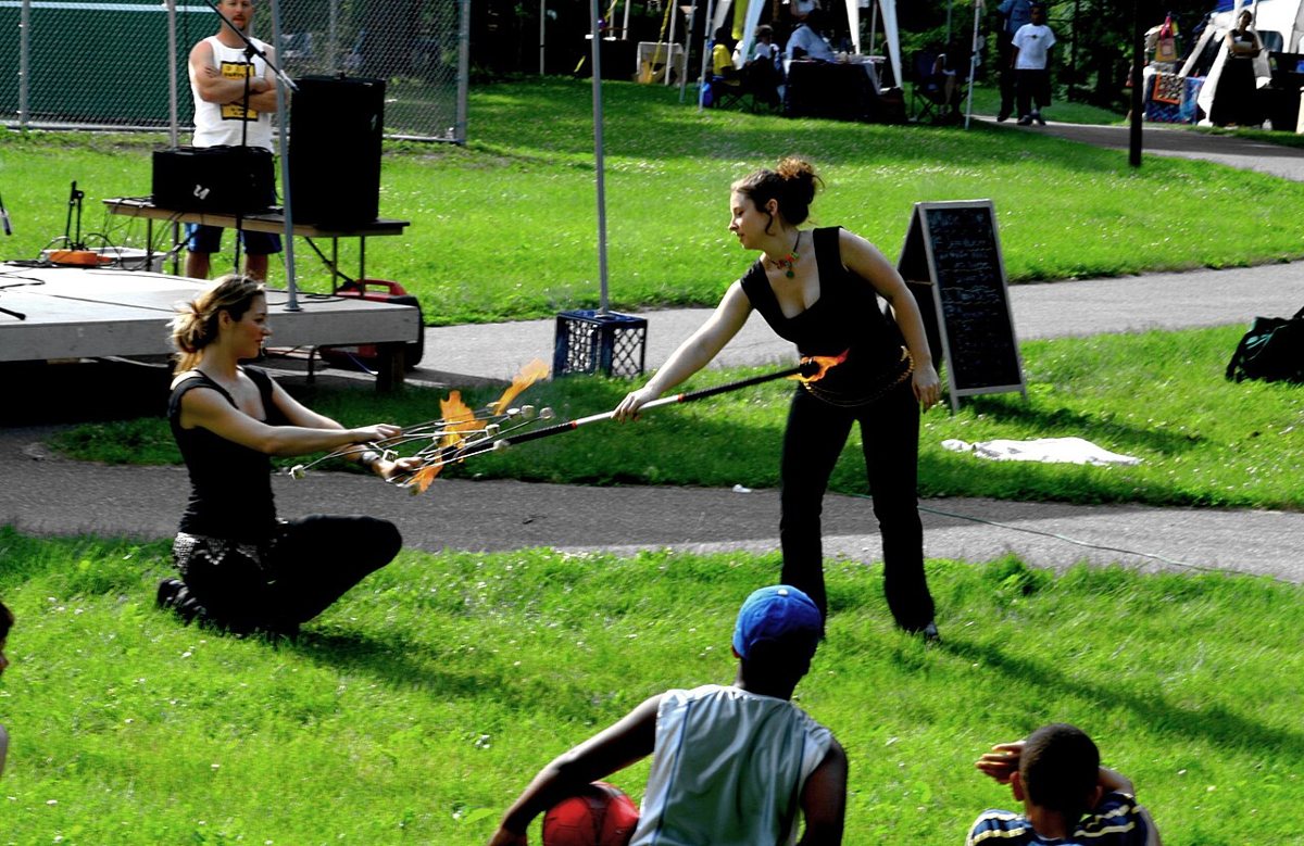
Powderhorn Park, built around a small lake in South Minneapolis, is best known citywide as the endpoint of the May Day Parade, a longtime community procession and festival organized by In the Heart of the Beast Puppet and Mask Theatre that fills the park with giant puppets, music, and a genuinely mixed crowd from across the metro. Outside of that one event, it functions as the daily backyard for the neighborhoods around it, with a walking path around the lake, open lawns for pickup soccer, and a community garden plot system residents compete to get into. It's a working-class park in the best sense, unpretentious and well used, the daily backbone of the neighborhood around it. In winter the lake becomes a public skating rink and the warming house fills with kids trading stories the way they would around any hometown rink, a use of the park that has nothing to do with tourism at all.

Lake Nokomis
Lake Nokomis, near the airport in South Minneapolis, gets a fraction of the tourist traffic that Bde Maka Ska and Lake Harriet see and is arguably more pleasant for it. It has one of the better swimming beaches in the city, a dedicated area for sailing and windsurfing, and a full loop trail connecting to Lake Hiawatha and Minnehaha Creek, so it's possible to string together a long car-free outing through several parks without repeating ground. Nokomis-East and Wenonah residents treat it the way Uptown treats Bde Maka Ska: the default answer to going to the lake. A community center on the north shore anchors youth sports and adult programming through the seasons, and the lake's east side backs up to a public golf course, giving the whole area a slower, more suburban pace than the Chain of Lakes despite being just as central to the city.

North Commons Park
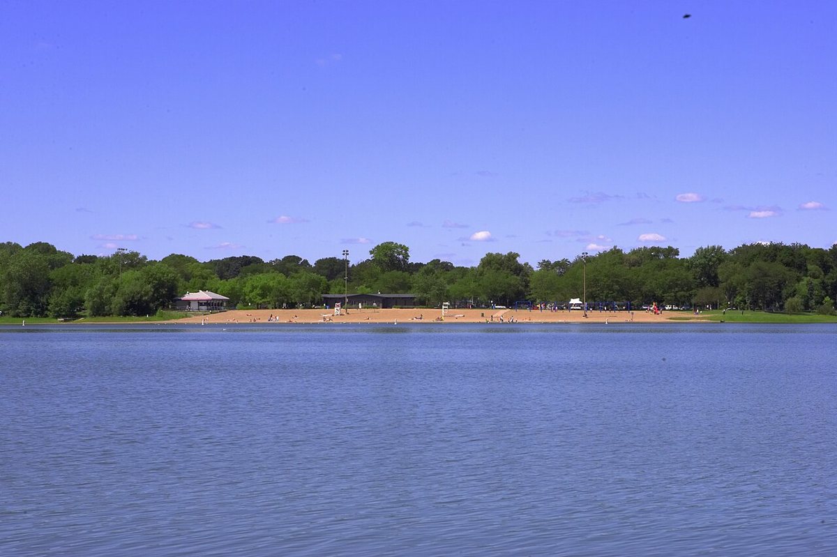
North Commons Park, on the Near North side, is a longtime anchor park in a part of the city that doesn't get the tourism attention the lakes do, despite deserving it. The park includes an outdoor pool, ball fields, and open recreation space that serve a North Minneapolis population shaped heavily by a large and influential East African community, whose presence is felt across daily life in the surrounding blocks, from the soccer leagues that use the park's fields to the restaurants and markets along West Broadway a short walk away. Any account of Minneapolis parks that skips the North Side is only telling part of the story. The outdoor pool draws lines on the first hot day of the season the same way the lake beaches do farther south, and the park's ball fields host the kind of cross-generational pickup games, in multiple languages, that make it a genuine community living room rather than a stop on a scenic route.

The Grand Rounds Scenic Byway Connects All of It
What ties nearly every park on this list together is the Grand Rounds Scenic Byway, a parkway and trail system that runs roughly fifty miles in a loop touching the Chain of Lakes, the riverfront, Wirth, and much of the northern city limit. It's one of the only nationally designated scenic byways that exists almost entirely inside a single city, meaning a cyclist can, in a single long ride, connect Minnehaha Falls, the riverfront mills, Wirth's woods, and the lakes without ever leaving dedicated park land. The route runs under different names in different stretches, from West River Parkway along the Mississippi to Victory Memorial Drive on the north side, and each segment has its own character even though they're all built to the same low-speed, tree-lined standard. our guide to riding the full Grand Rounds breaks the loop into manageable sections for anyone who wants to attempt it in a day rather than all at once.

Practical Notes for Visiting Minneapolis Parks
- Parking around Bde Maka Ska and Lake Harriet fills quickly on warm weekends; biking or busing in is often faster than circling for a spot.
- Trails around the Chain of Lakes and the riverfront are typically split into separate walking and biking lanes marked by painted lines. Stay in your lane; conflicts between runners and cyclists are the most common friction in the park system.
- Public beaches are seasonal and conditions can change day to day, so check posted signage for current status rather than assuming a beach is open.
- Off-leash dog areas exist in select parks, including sections of Minnehaha and Wirth, but leash laws are enforced elsewhere, including at the lake beaches.
- Many of the same paved paths that carry runners and cyclists in summer become groomed cross-country ski and snowshoe trails in winter, particularly at Wirth and around the lakes.
- Picnic shelters and pavilions at the busier parks can be reserved ahead of time for larger gatherings, which is worth doing for a family reunion or a big cookout rather than hoping an open shelter turns up.
- Most of the paved loops around the lakes and along the river are flat, wide, and stroller and wheelchair friendly, which is part of why they draw such a broad cross-section of the city rather than just the athletic crowd.
- a good meal near the lakes is rarely more than a few blocks from any entrance to Bde Maka Ska, Lake Harriet, or Lake of the Isles, so there's no need to drive between the park and dinner.
The Real Case for Minneapolis Parks
The lakes get the postcards, and they've earned them. But the strongest argument for this park system is how ordinary it is to use. A rowing club practices on Bde Maka Ska before most of the city has had coffee. A puppet parade ends in Powderhorn every spring because that's simply where it has always ended. Soccer leagues organized by the North Side's East African community run at North Commons the way earlier generations of immigrants once organized their own leagues and clubs nearby. None of that is packaged for visitors; it's just what the parks are for. Musicians who came up playing free shows at Lake Harriet's bandshell went on to fill rooms far bigger than a park plaza, and that lineage still runs through the city's clubs and stages, a quieter extension of a music legacy this city has never treated as finished. Other cities have a signature park people fly in to see. Minneapolis has a system that residents use every single day without thinking of it as remarkable, which is exactly what makes it remarkable.